Home News
20-Aug-2026 07:15 PM
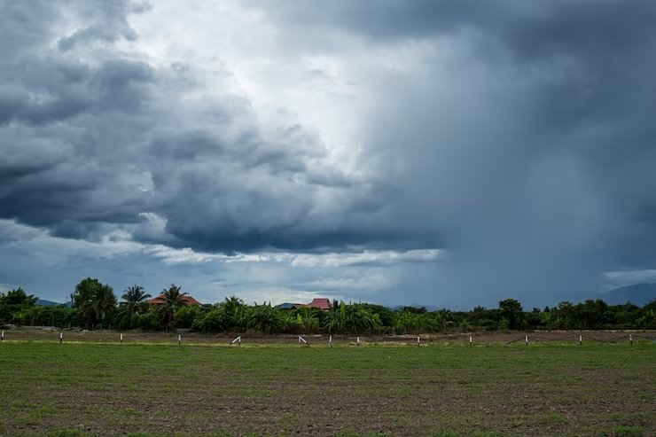
Thiruvananthapuram: A weather system over northern Jharkhand had previously posed a threat as a depression; however, with its weakening, monsoon activity is expected to pick up again across the northern, eastern, and northeastern regions of the country. Meanwhile, thunderstorms and rain occurred in the coastal and interior parts of Tamil Nadu in South India. In other parts of the country, monsoon conditions are weakening.
A depression is currently active over northern Jharkhand, southwestern Bihar, and southeastern Uttar Pradesh, situated near a strong monsoon trough. The convergence of these two systems is creating conditions favorable for rainfall. Consequently, rain is expected in the Himalayan foothills and the adjacent plains of northwest India. Good rainfall is also likely in eastern and northeastern India. According to the Meteorological Department, this depression has weakened and transformed into a well-marked low-pressure area.
The Meteorological Department reports that this low-pressure area is located approximately 30 km north-northwest of Daltonganj in Jharkhand; it is 70 km from Varanasi and 140 km from Ambikapur in Chhattisgarh. It is situated 210 km away from Sidhi in Madhya Pradesh.
There has been a deficit in monsoon rainfall in eastern India, hindering the sowing and progress of Kharif crops. Heavy rainfall is urgently needed in major paddy-producing states such as Bengal, Bihar, Jharkhand, Chhattisgarh, and Odisha. Rainfall is also required in eastern Uttar Pradesh.